Making Maps More Than Just Pictures
Transforming Maps into Meaningful Insight
Our Services
We offer full range of surveying mapping and exploration services using the latest Technology and field proven expertise to support your Project from planning to completion

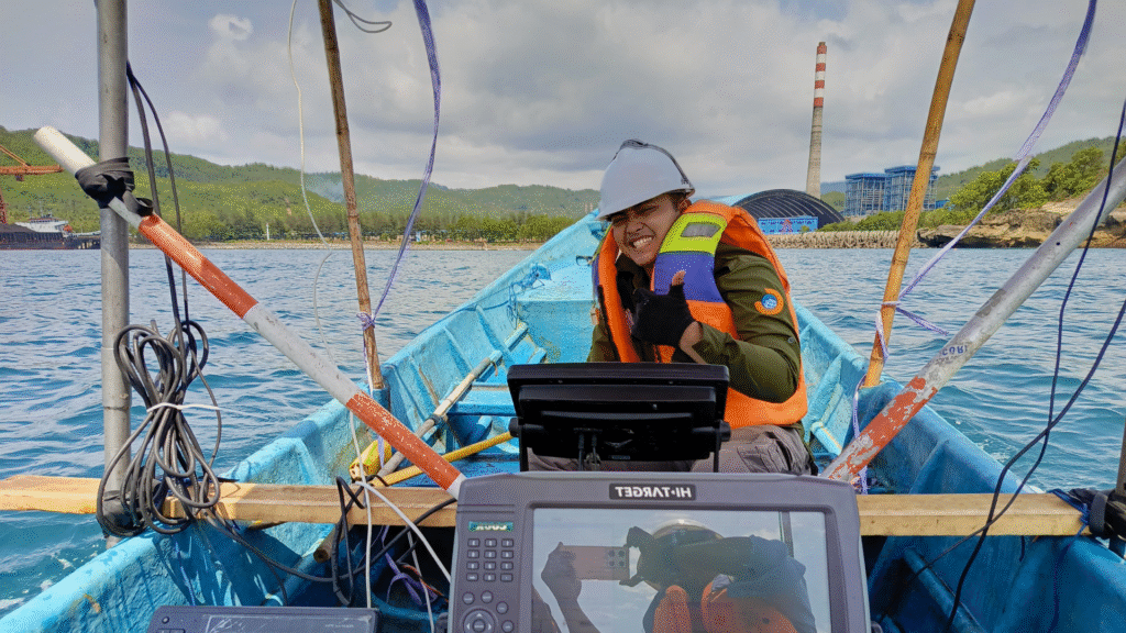
Hydrography
Our hydrographic survey services deliver high-accuracy seabed mapping, depth measurement, and marine data acquisition to support safe navigation, coastal development, and offshore infrastructure planning.

Topography
We provide precise topographic surveying services using advanced instruments to capture detailed terrain data, ensuring accurate planning, design, and decision-making for diverse land-based projects.

Agriculture
We offer modern agricultural mapping solutions using remote sensing and geospatial analysis to optimize crop management, monitor field conditions, and enhance productivity across large farming areas.
Geofriend Survey Provides Professional Geospatial Solutions
500+ Ha
Projects Completed
Hydrography, Topography, and Aerial Mapping
Meet The Team
Technical Support Geofriend Survey

AKBAR GEMILANG

ALDY SURYA

ANDIK CAHYO

IKHSAN NURADI
Call us for an Obligation Free Consultation
Whether you need bathymetry surveys, topographic, drone mapping, or GIS Analysis – Our Expert is here to help